

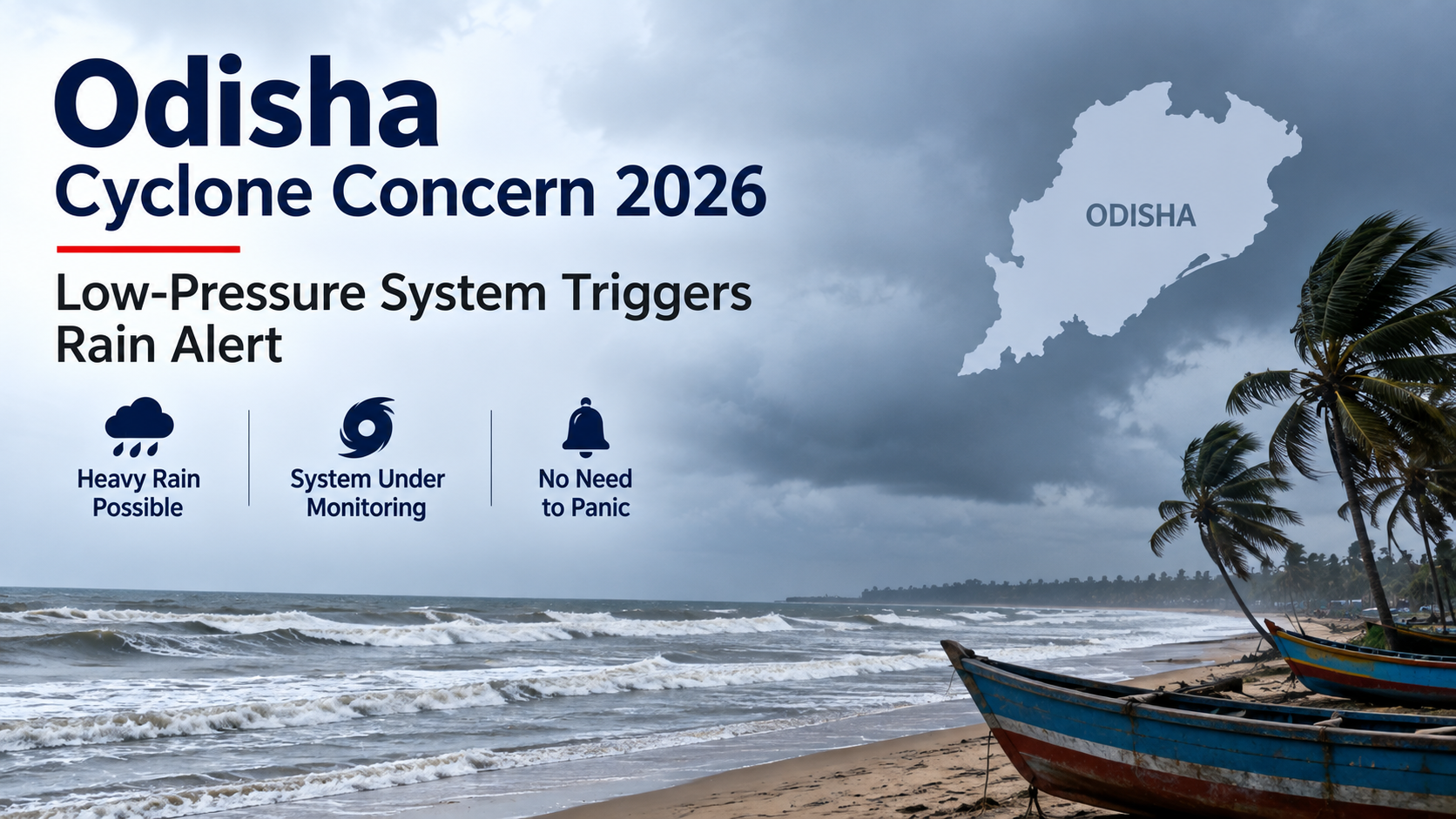
Odisha is watching a developing weather system over the Bay of Bengal, but the India Meteorological Department (IMD) has clarified that there is currently no cyclone forecast for the state. A cyclonic circulation over North Thailand is expected to emerge over the North Andaman Sea around September 18, followed by the likely formation of a low-pressure area around September 19.
The system is expected to gradually move west-northwestwards towards the South Odisha–North Andhra Pradesh coast during the following three to four days. While heavy rainfall is possible, authorities have urged people not to panic over unverified cyclone claims circulating online.
Odisha Cyclone Alert: What Is the Latest Situation?
As of September 17, 2026, the IMD has not issued a cyclone warning for Odisha.
According to the latest IMD coastal bulletin:
- A cyclonic circulation is persisting over North Thailand.
- It is likely to emerge over the North Andaman Sea around September 18.
- A low-pressure area could form around September 19.
- The system may gradually intensify and move towards the South Odisha–North Andhra Pradesh coast.
- The exact intensity and future development remain under observation.
This distinction is important: a low-pressure area is not the same thing as a cyclone.
Why Are People Talking About a Cyclone?
The concern comes from forecasts indicating that the developing system could strengthen as it moves across the Bay of Bengal.
However, the IMD has said that there is currently no assessment that the system will necessarily intensify into a cyclone. The weather department is continuing to monitor atmospheric and oceanic conditions before making further projections.
The IMD has also advised people to avoid relying on rumours and unverified social-media posts.
Low Pressure vs Cyclone
| Weather System | What It Means |
|---|---|
| Low-pressure area | An area of relatively lower atmospheric pressure that can produce rain and thunderstorms |
| Depression | A stronger organised weather system |
| Deep depression | A further intensification of the system |
| Cyclonic storm | A system with sustained winds reaching cyclone classification |
Therefore, the development of a low-pressure area does not automatically mean that a cyclone will form.
Where Could the System Move?
Current IMD guidance indicates a possible west-northwestward movement after the system develops.
The broad projected direction is towards:
North Andaman Sea → Bay of Bengal → South Odisha/North Andhra Pradesh coast
The IMD says the system could reach near the South Odisha–North Andhra Pradesh coastal region after moving for several days.
However, the exact track can change as the system develops. Weather agencies generally update forecasts as new satellite, ocean and atmospheric observations become available.
Heavy Rainfall Is the Main Immediate Concern
Even without cyclone formation, the developing low-pressure system can increase rainfall over Odisha.
The IMD's September 17 warning shows heavy rain possibilities in Odisha on September 18, 19 and 20.
The regional weather outlook has identified several districts for potential heavy rainfall, including parts of southern Odisha.
According to the New Indian Express report citing the IMD, heavy rainfall was expected in parts of Mayurbhanj, Rayagada, Koraput, Malkangiri, Gajapati and Ganjam, with additional isolated heavy-rain possibilities in some districts.
Which Areas Could See More Rain?
Southern and interior Odisha could receive increased rainfall as the system develops.
Areas being watched include:
- Ganjam
- Gajapati
- Rayagada
- Koraput
- Malkangiri
- Kalahandi
- Mayurbhanj
- Other coastal and interior districts depending on the system's movement
The exact district-level impact can change with each forecast update, so residents should follow the latest IMD and local administration advisories rather than relying on social-media forecasts.
Odisha Cyclone Rumours: Why Authorities Say Don't Panic
Social media posts have reportedly been circulating about an impending cyclone over Odisha.
The IMD has pushed back against these claims and said no cyclone has been forecast at this stage. The department is monitoring the developing low-pressure system and will provide updates if its intensity or trajectory changes.
This is particularly important because cyclone forecasts become more reliable as an organised system actually develops.
What people should do
Instead of reacting to unverified cyclone rumours:
- Follow IMD bulletins.
- Monitor official Odisha government advisories.
- Keep checking district-level weather warnings.
- Avoid sharing unverified cyclone-track graphics.
- Stay prepared for heavy rain and thunderstorms.
- Follow local authorities if evacuation or safety instructions are issued.
Will This System Become a Cyclone?
It is too early to say.
The IMD currently says a low-pressure area is likely to form around September 19 and that it could gradually intensify while moving towards the South Odisha–North Andhra Pradesh coast. However, there is currently no official assessment that it will become a cyclone.
The eventual development will depend on atmospheric and oceanic conditions.
Therefore, headlines describing a confirmed "Odisha cyclone" at this stage would be premature.
What About Odisha's Coast?
The September 17 IMD coastal bulletin reported slight sea conditions along both North and South Odisha coasts, with southwesterly to westerly winds of around 10–15 knots. It also showed no storm-surge or tidal warning and no port warning at the time of the bulletin.
The IMD's fishermen warning page also showed no warning for North or South Odisha in its September 17 entry.
That situation can change if the low-pressure system strengthens, which is why continued monitoring is important.
Possible Impact on Odisha
If the low-pressure system strengthens, Odisha could experience:
Heavy Rainfall
Some districts could receive heavy or very heavy rainfall, potentially causing temporary waterlogging or flooding in vulnerable locations.
Thunderstorms and Lightning
Thunderstorms may accompany rainfall, particularly in interior and southern districts.
Stronger Winds
Wind speeds can increase as a weather system becomes more organised, although current conditions do not indicate a cyclone threat.
Agriculture Impact
Heavy rainfall can affect standing crops, particularly in low-lying agricultural areas. At the same time, rainfall could benefit areas that have experienced moisture stress.
Localised Flooding
Low-lying areas and locations near rivers or drainage channels could face temporary flooding if rainfall becomes intense.
What Should Odisha Residents Watch Next?
The next few days will be important.
September 18
The circulation is expected to emerge over the North Andaman Sea.
September 19
A low-pressure area may develop over the North Andaman Sea and adjoining region.
Following 3–4 Days
The system is expected to move west-northwestwards towards the South Odisha–North Andhra Pradesh coast.
Key Things to Monitor
- System intensity
- Movement direction
- Rainfall warnings
- Wind forecasts
- Coastal conditions
- IMD cyclone bulletins
- District-level advisories
The IMD says it is continuously tracking the system.
Odisha Weather: Cyclone or Heavy Rain?
The current situation can be summarised simply:
There is a developing weather system, but there is no confirmed cyclone over Odisha.
The immediate and more certain concern is increased rainfall, while the possibility of further intensification will need to be assessed as the system forms and moves across the Bay of Bengal.
Key Takeaways
- A new low-pressure area is likely to form around September 19, 2026.
- The system is associated with a cyclonic circulation currently over North Thailand.
- It is expected to emerge over the North Andaman Sea around September 18.
- The system may move towards South Odisha and North Andhra Pradesh.
- No cyclone has been officially forecast for Odisha at this stage.
- IMD has urged people not to panic over rumours.
- Heavy rainfall is possible across parts of Odisha.
- IMD's September 17 warning indicated heavy rain possibilities on September 18–20.
- Residents should rely on official IMD and government advisories for updates.
Frequently Asked Questions
1. Is a cyclone coming to Odisha in September 2026?
There is currently no confirmed cyclone forecast for Odisha. A low-pressure area is likely to develop around September 19.
2. What is the latest Odisha weather update?
The IMD is monitoring a developing system that could bring increased rainfall to parts of Odisha.
3. When could the low-pressure area form?
The IMD expects a low-pressure area to form around September 19, 2026.
4. Where could the system move?
The system is expected to move west-northwestwards towards the South Odisha–North Andhra Pradesh coast.
5. Will Odisha receive heavy rain?
Yes. IMD forecasts indicate heavy rainfall possibilities across parts of Odisha during September 18–20.
6. Has IMD issued a cyclone warning?
No. The latest information does not indicate an official cyclone warning for Odisha.
7. Why are cyclone rumours spreading?
Speculation has emerged because of the expected development and movement of a low-pressure system over the Bay of Bengal.
8. Should people in Odisha panic?
Authorities have advised people not to panic and to follow official weather updates instead of rumours.
9. Which Odisha districts could receive heavy rain?
Parts of southern and interior Odisha, including areas around Ganjam, Gajapati, Rayagada, Koraput and Malkangiri, are among the areas being monitored.
10. Can a low-pressure area become a cyclone?
Yes, some low-pressure systems can intensify, but not every low-pressure area becomes a cyclone. The development depends on atmospheric and oceanic conditions.
11. Is there a storm-surge warning for Odisha?
The September 17 IMD coastal bulletin reported no storm-surge or tidal warning at that time.
12. Where should people check cyclone updates?
People should rely on the India Meteorological Department and official Odisha government advisories for the latest information.
Conclusion
The developing weather system over the Bay of Bengal has understandably attracted attention in Odisha, but the current situation should not be described as a confirmed cyclone threat.
The latest IMD information points to the likely formation of a low-pressure area around September 19, followed by a possible west-northwestward movement towards the South Odisha–North Andhra Pradesh coast. Heavy rainfall is the key near-term concern, while the system's potential for further intensification remains under observation.
For residents, the most important step is simple: stay alert, but rely on official forecasts rather than rumours.
Disclaimer: Weather systems can change rapidly. Forecasts and warnings should be checked against the latest IMD bulletins before making travel, fishing, farming or safety decisions.
Published on : 17th September
Published by : SMITA
www.vizzve.com || www.vizzveservices.com
Follow us on social media: Facebook || Linkedin || Instagram
🛡 Powered by Vizzve Financial
RBI-Registered Loan Partner | 10 Lakh+ Customers | ₹600 Cr+ Disbursed